Geodaten - Links
Inhaltsverzeichnis
Initiativen / Texte
- http://dl.maptools.org/dl/omsug/osgis2004/licenses.pdf Gegenüberstellung der GNU General Public License, Donnees Geographiques Libres und der Public Geodata License
Regionale Gliederung
Deutschland
Ganz Deutschland
- OpenStreetMap : Siedlungsflächen, Gewässern, Straßen, Städte/Stadtteilpunkte, Versorgungsleitungen, Wanderwege, ...
- Mapbender File List: Siedlungsflächen, Gewässern, Straßen, ein paar Städtepunkte und Postleitzahlengebiete
- OpenGeoDB: Datenbank mit Geokoordinaten zu allen Orten und Postleitzahlen im deutschsprachigen Raum
- Corine Landcover 2000: Bodenbedeckungsdaten für Deutschland
Niedersachsen
- GEOSUM-WWW-Datenserver der niedersächsischen Umweltverwaltung
Berlin Brandenburg
Baden-Württemberg
- Umwelt-Datenbanken und -Karten online: Biotope, Schutzgebiete, Natura 2000, Naturräumliche Gliederung, Blattschnitteinteilung, LANDSAT, Moore.
- Rips-Räumliches Informations- und Planungssystem
Nordrhein Westfalen
- Geodaten des Kreis Recklinghausen: Große Sammlung an freizeitbezogenen Geodaten zum freien Download
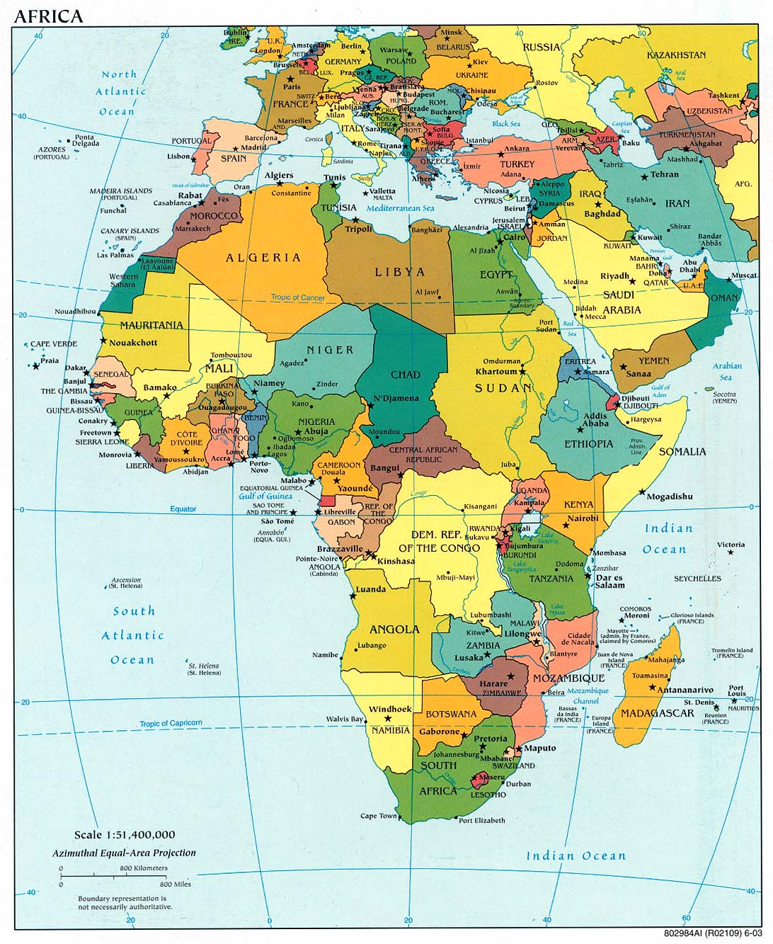
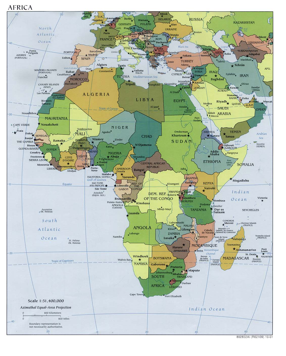
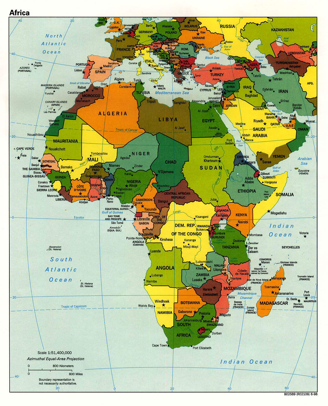
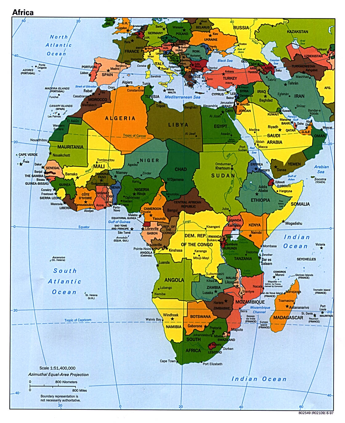
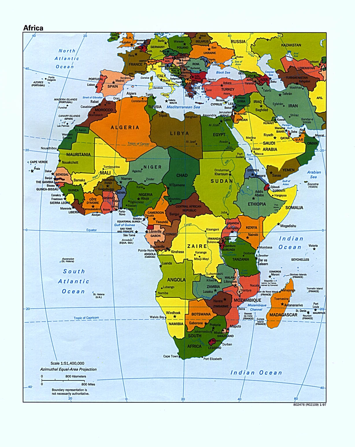
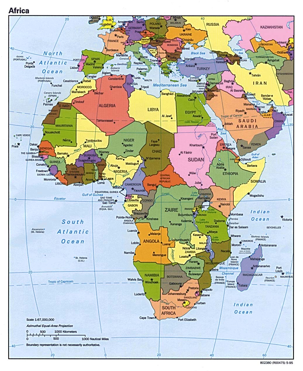
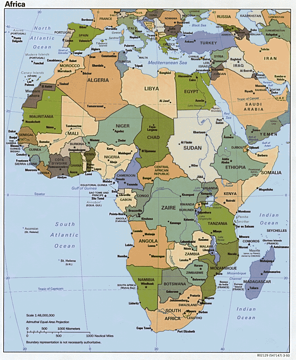
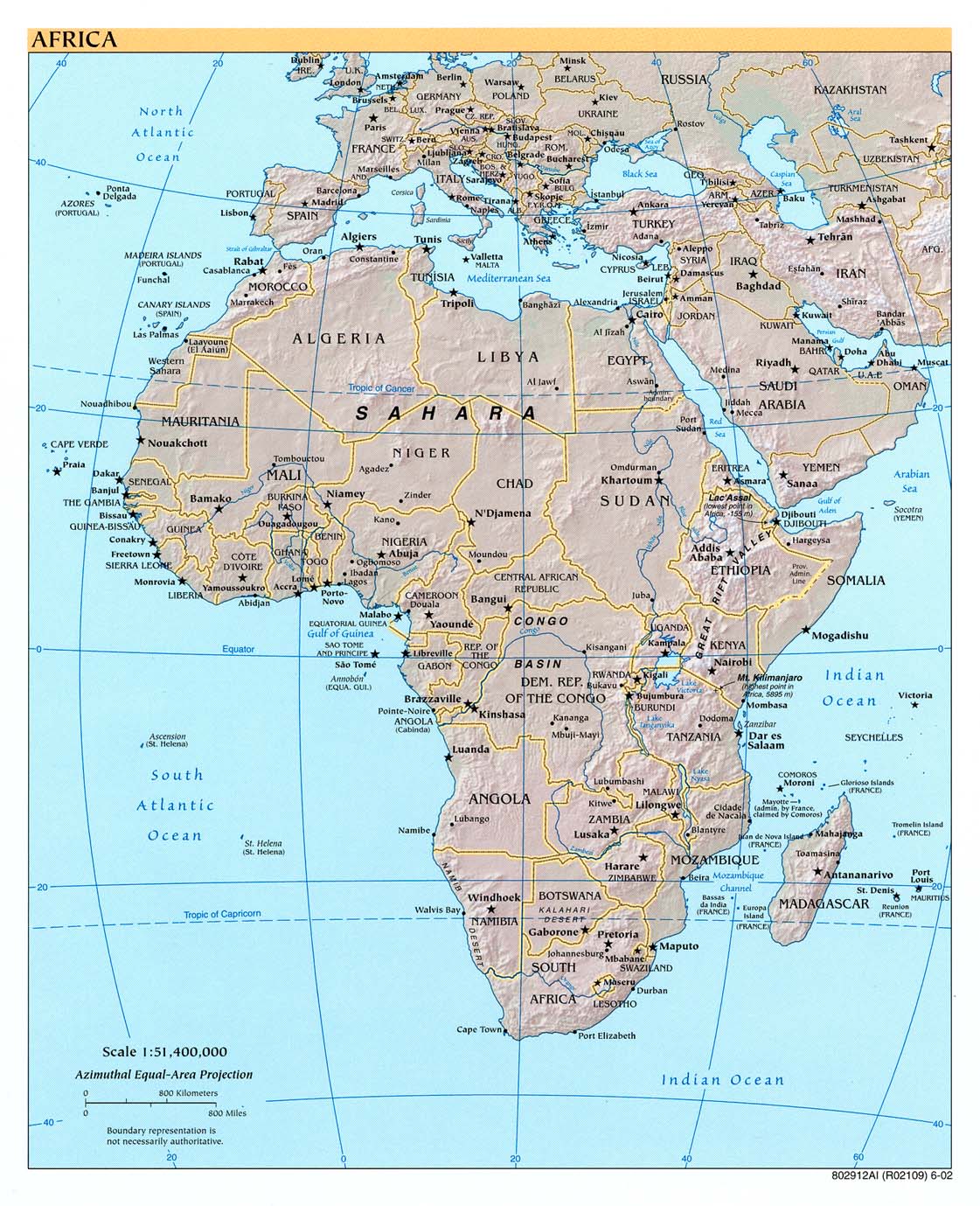
Afrika
- Africa Landsat 742
- Thumbnail
- Torrent-Download, 6.14 GB
- Africa (Political) 2003 (302K) and * pdf format (272K)
- Africa (Political) 2001 (232K) and [africa/africa_pol_2001.pdf pdf format] (234K)
- Africa (Political) 2000 (249K) and [africa/africa_pol_2000.pdf pdf format] (257K)
- Africa (Political) 1998 (452K) and [africa/africa_pol_1998.pdf pdf format] (390K)
- Africa (Political) June 1997 (349K) and [africa/africa_pol_1997.pdf pdf format] (338K)
- Africa (Political) January 1997 (366K) and [africa/africa_pol97.pdf pdf format] (1.2MB)
- Africa (Political) 1995 (265K) and [africa/africa_pol_1995.pdf pdf format] (262K)
- Africa (Political) 1993 (274K) and [africa/africa_pol_1993.pdf pdf format] (282K)
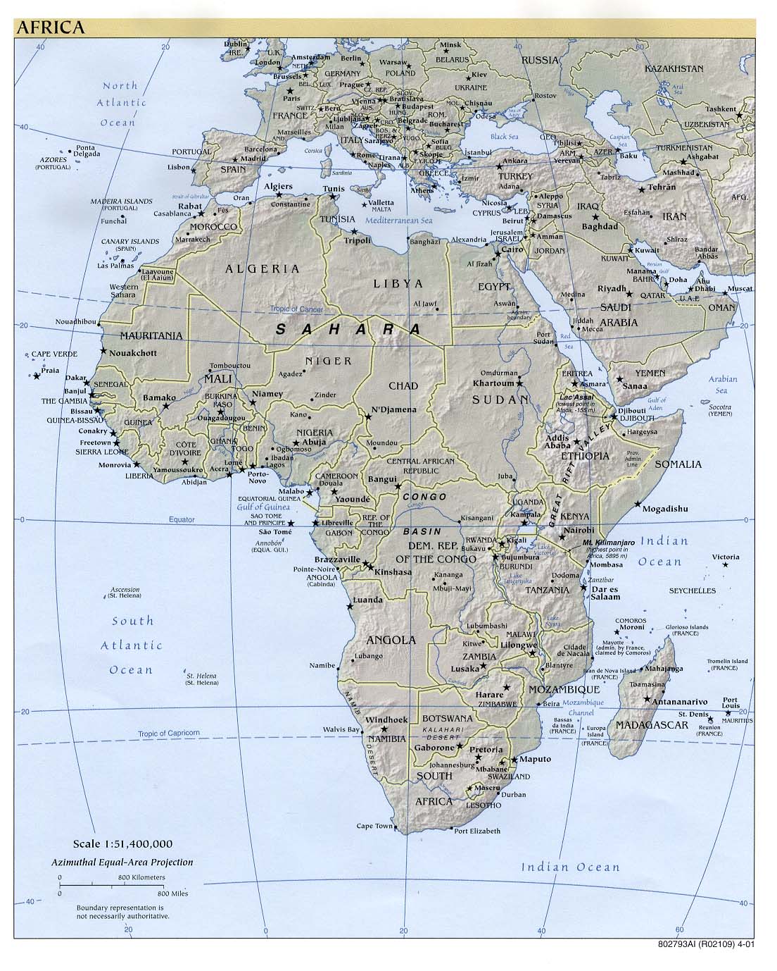
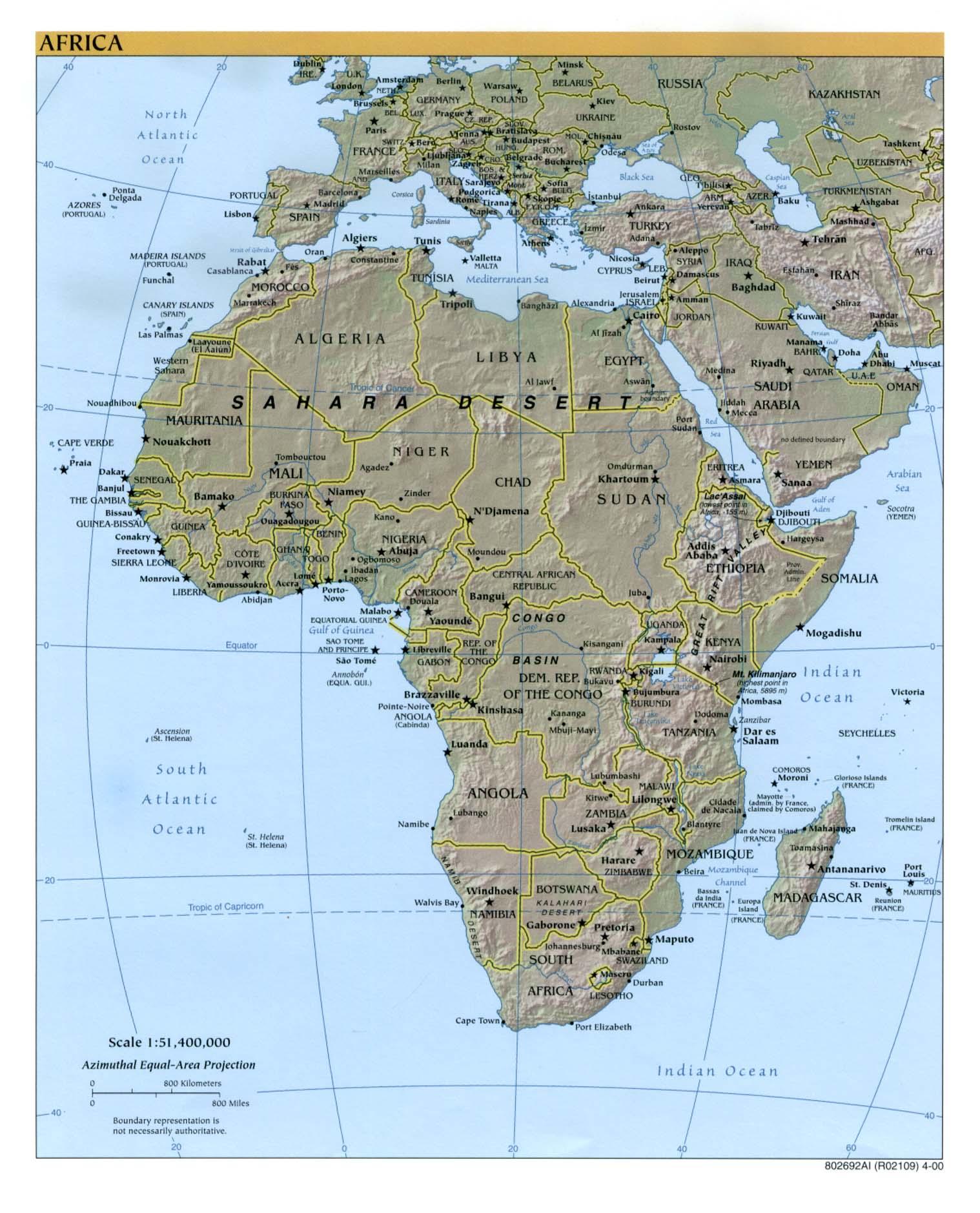
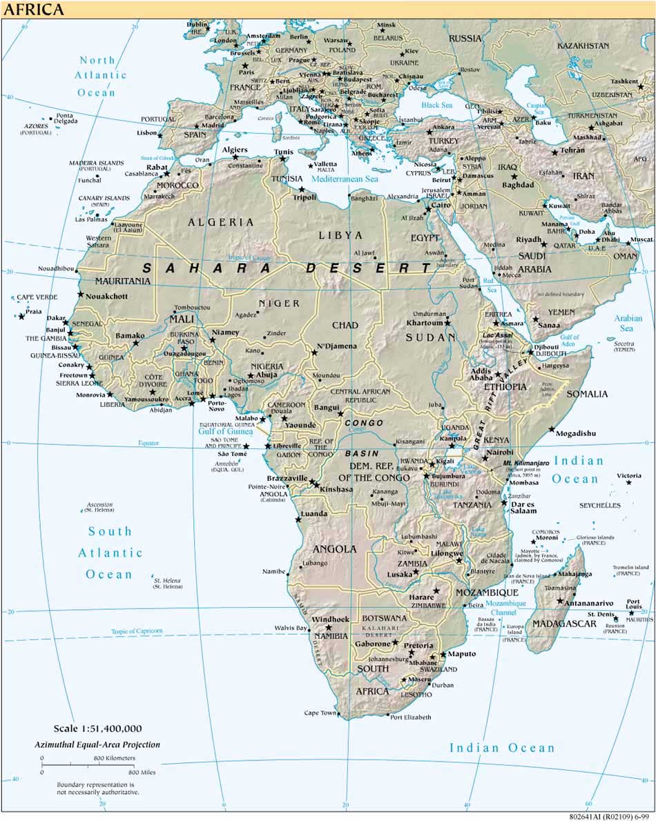
- Africa (Reference Map) 2005 (472K) [pdf format]
- Africa (Reference Map) 2003 (392K) and [africa/africa_ref_2003.pdf pdf format] (459K)
- Africa (Reference Map) 2002 (320K) and [africa/africa_ref02.pdf pdf format] (323K)
- Africa (Reference Map) 2001 (281K) and [africa/africa_ref01.pdf pdf format] (956K)
- Africa (Reference Map) 2000 (316K) and [africa/africa_ref00.pdf pdf format] (788K)
- Africa (Reference Map) 1999 (190K) [africa/africa_ref802641_99.jpg larger jpeg image] (306K) and [africa/africa_ref802641_1999.pdf pdf format] (582K)
- Africa Historical Maps
- Africa, Islam in 1987 (195K) and [africa/africa_islam_1987.pdf pdf format] (198K)
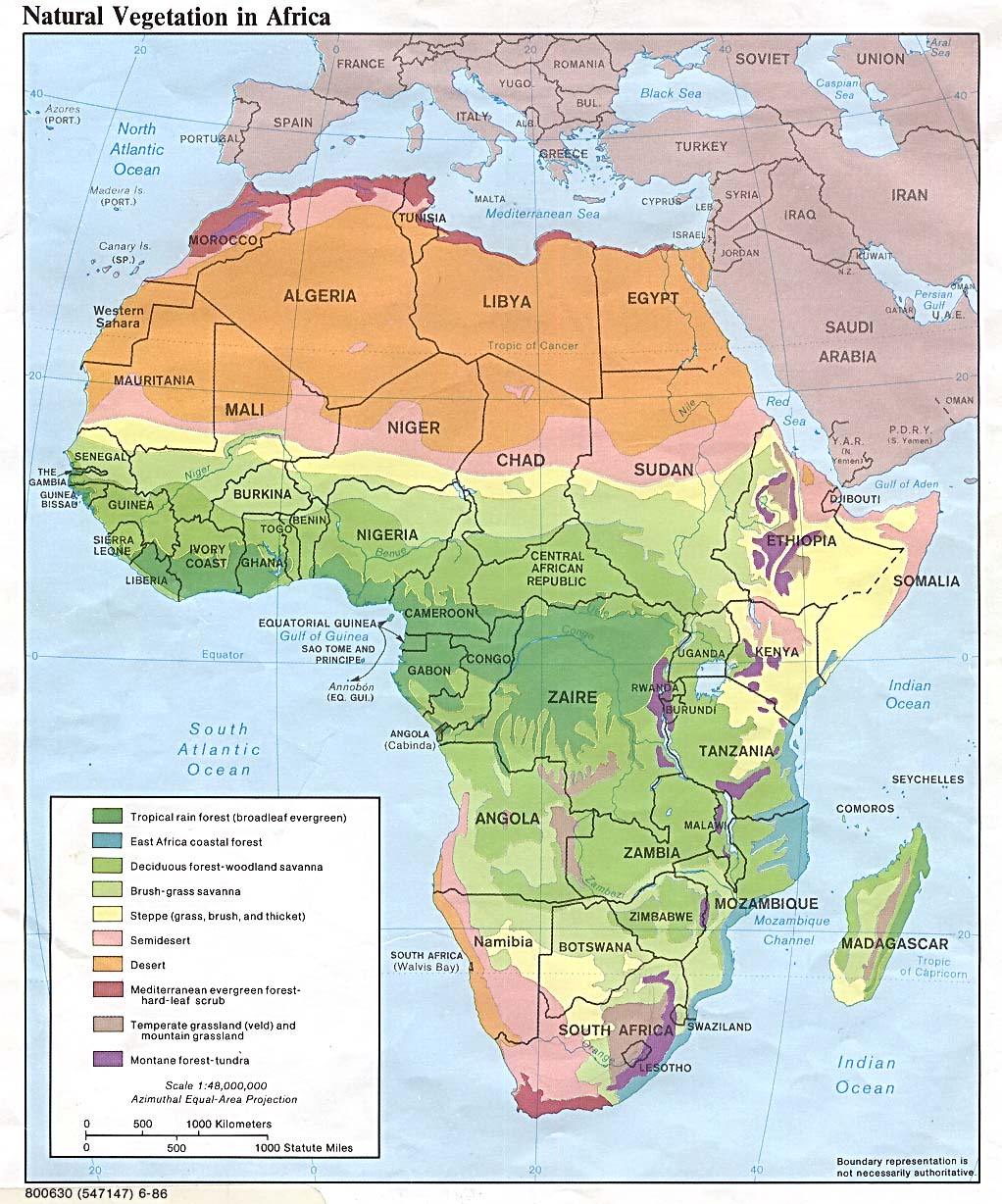
- Africa Natural Vegetation 1986 (260K) and [africa/africa_veg_1986.pdf pdf format] (234K)
- Africa Population Density 1979 (232K) and [africa/africa_pop_1979.pdf pdf format] (235K)
- Algeria Maps
- Angola Maps
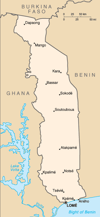
- Benin Maps
- Botswana Maps
- Burkina Faso Maps
- Burundi Maps
- Cameroon Maps
- Cape Verde Maps
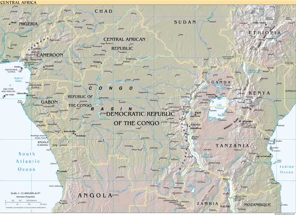
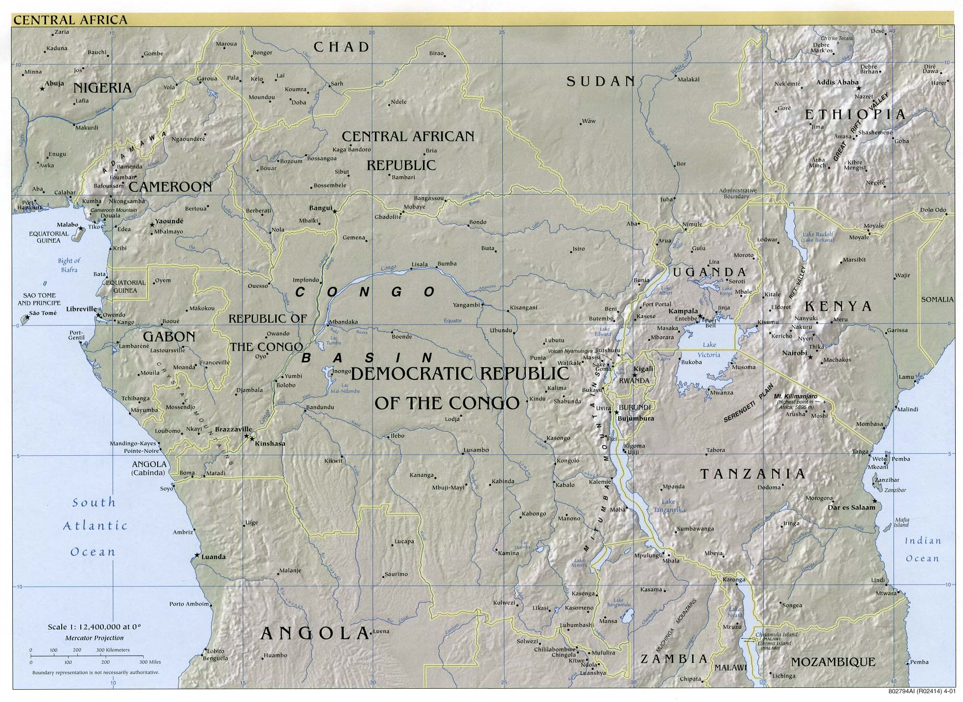
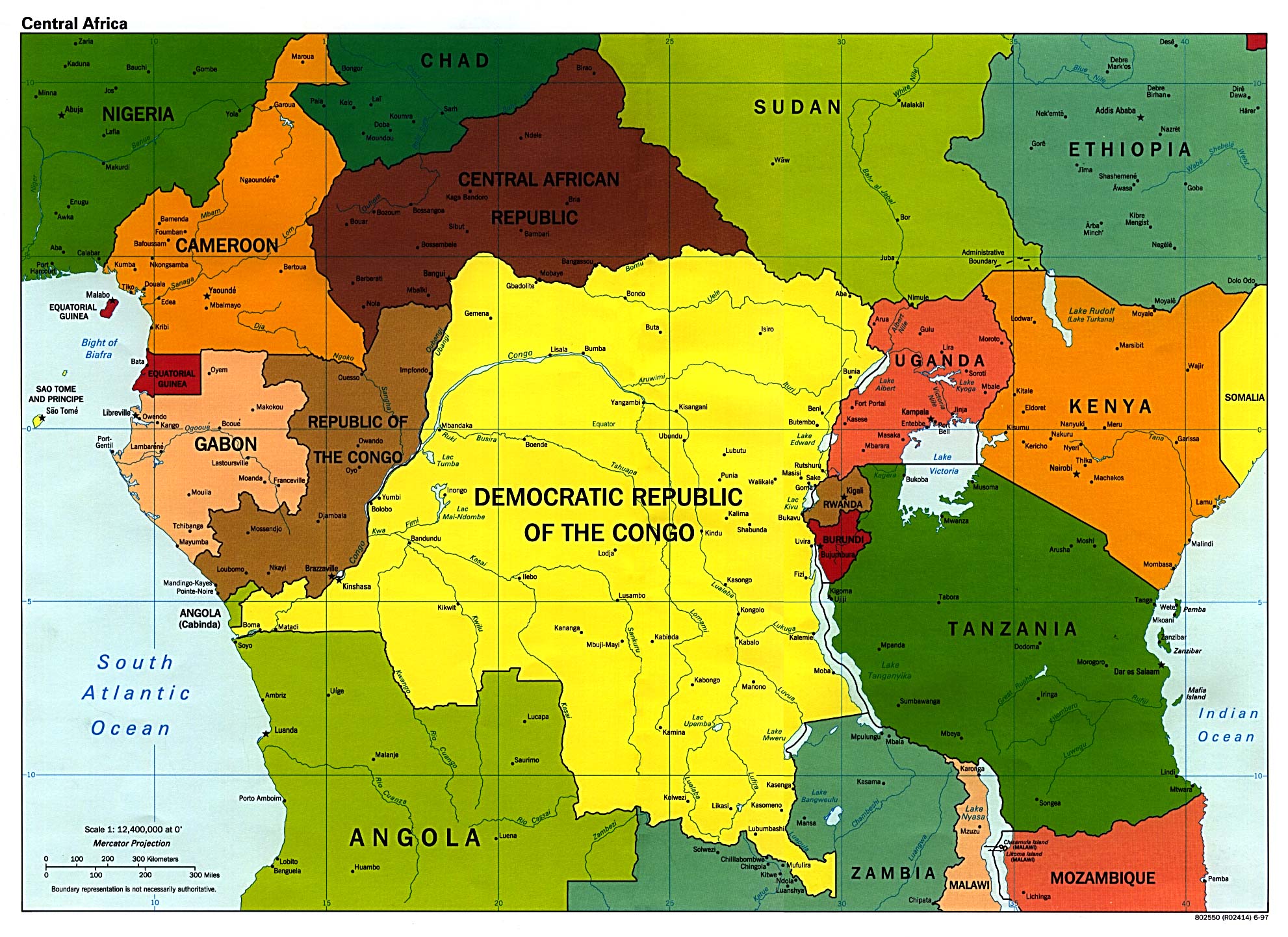
- Central Africa (Reference Map) 1999 (113K) [africa/africa_cen_ref802642_99.jpg larger jpeg image] (510K)
- Central Africa (Reference Map) 2001 (423K) and [africa/centralafrica_ref01.pdf pdf format] (1.4MB)
- Central Africa (Reference Map) 2000 (845K) [pdf format]
- Central Africa (Reference Map) 1999 (630K) [pdf format]
- Central Africa (Political) 1997 (527K)
- Central African Republic Maps
- Chad Maps
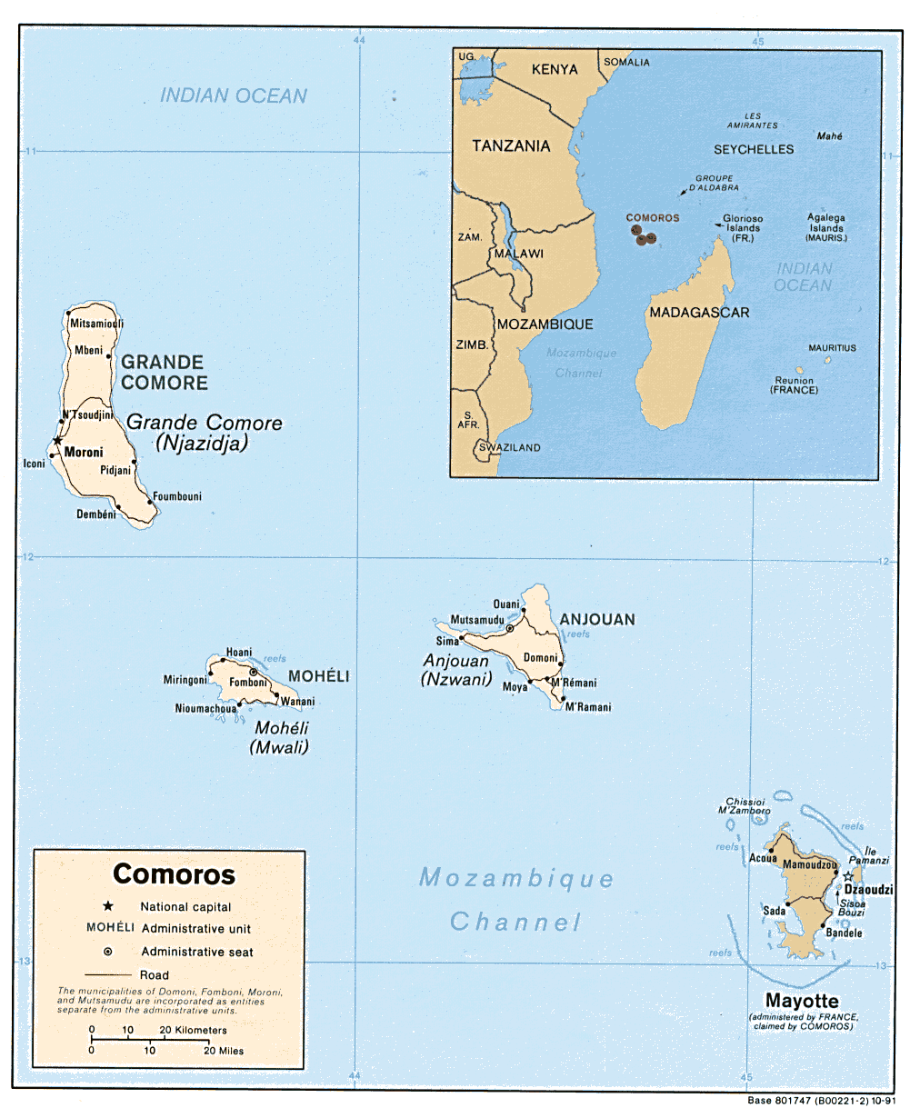
- Comoros (Political) 1991 (212K) and [africa/comoros_pol_1991.pdf pdf format] (224K)
- Comoros (Shaded Relief) 1991 (119K) and [africa/comoros_rel_1991.pdf pdf format] (126K)
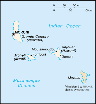
- Comoros (Small Map) 2005 (7K)
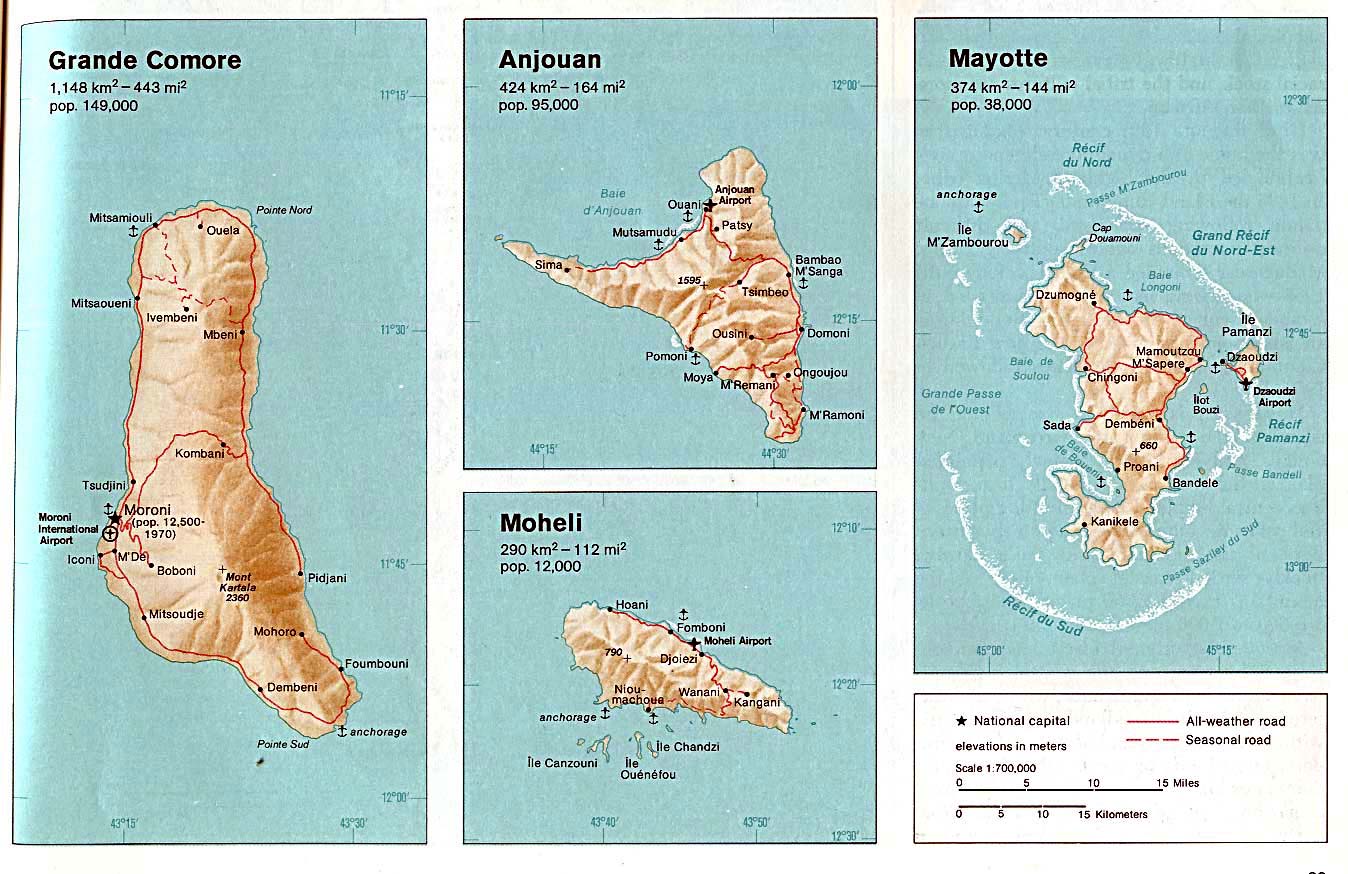
- Comoros (Grande Comore, Anjouan, Moheli, Mayotte) From The Indian Ocean Atlas, 1976 (198K)
- Congo Maps, Democratic Republic of the (former Zaire)
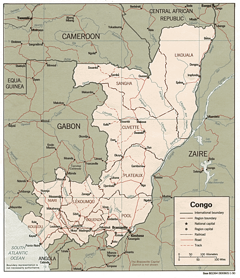
- Congo, Republic of the (Political) 1990 (310K) and [africa/congo_pol_1990.pdf pdf format] (337K)
- Congo, Republic of the (Shaded Relief) 1990 (265K) and [africa/congo_rel_1990.pdf pdf format] (274K)
- Congo, Republic of the (Small Map) 2005 (13K)
- Cote d'Ivoire Maps
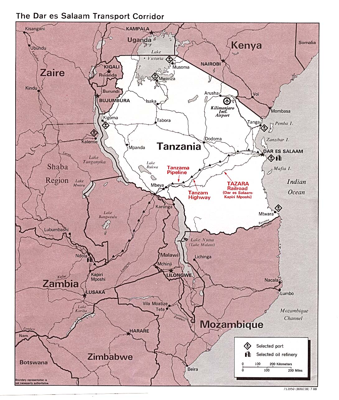
- Dar es Salaam Transport Corridor 1988 (402K)
- Djibouti Maps
- Egypt Maps
- Equatorial Guinea Maps
- Eritrea Maps
- Ethiopia Maps
- Gabon Maps
- Gambia Maps
- Ghana Maps
- Guinea Maps
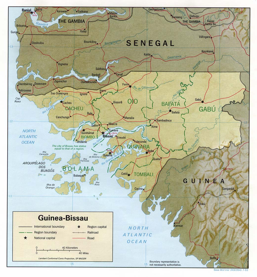
- Guinea Bissau (Political) 1993 (220K) and [africa/guinea_bissau_pol_1993.pdf pdf format] (235K)
- Guinea Bissau (Shaded Relief) 1993 (229K) and [africa/guinea_bissau_rel_1993.pdf pdf format] (236K)
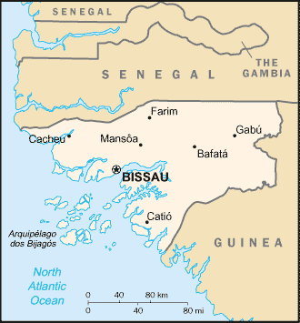
- Guinea Bissau (Small Map) 2005 (12K)
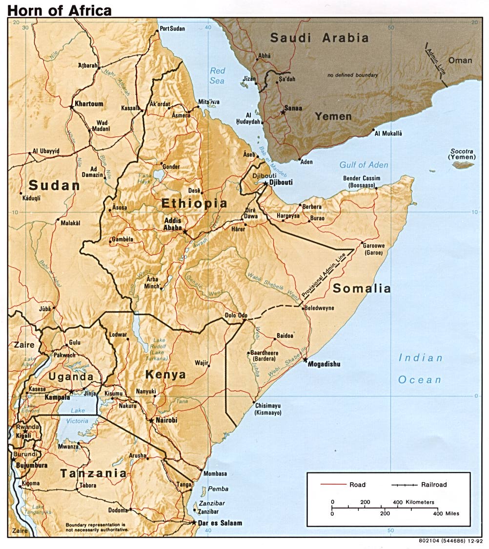
- Horn of Africa (Shaded Relief) 1992 (218K)
- Horn of Africa (Shaded Relief) 1972 (420K)
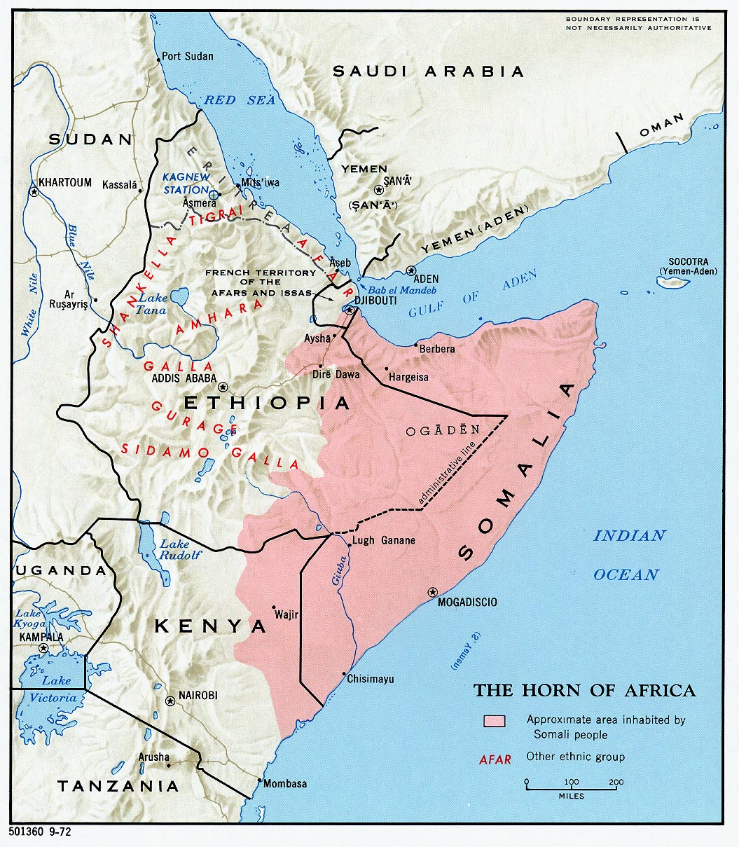
- Horn of Africa Ethnic Groups 1980 (213K)
- Ivory Coast (Cote d'Ivoire) Maps
- Kenya Maps
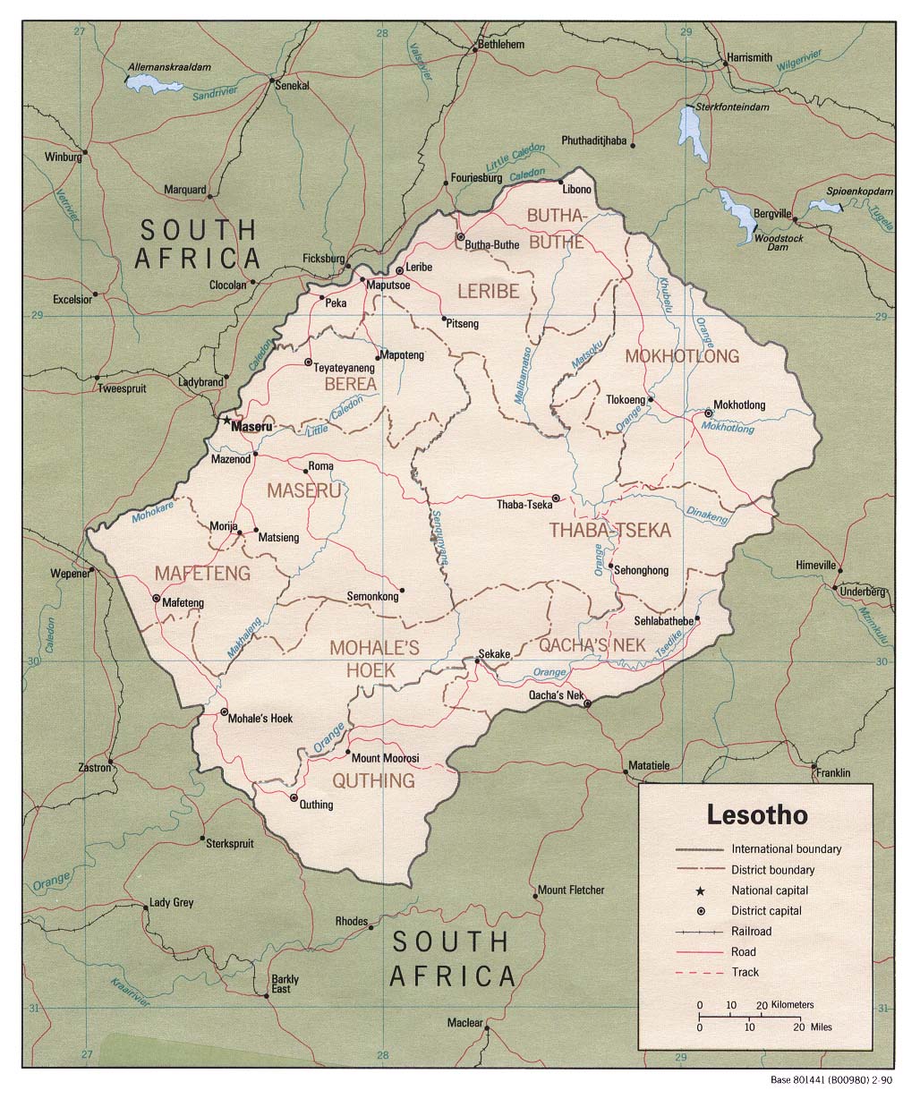
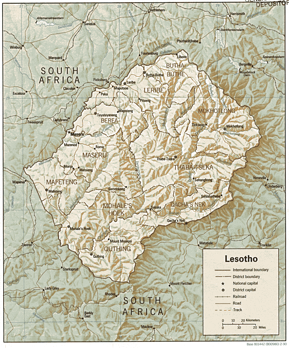
- Lesotho (Political) 1990 (341K) and [africa/lesotho_pol90.pdf pdf format] (244K)
- Lesotho (Shaded Relief) 1990 (341K) and [africa/lesotho.pdf pdf format] (356K)
- Lesotho (Small Map) 2005 (7K)
- Liberia Maps
- Libya Maps
- Madagascar Maps
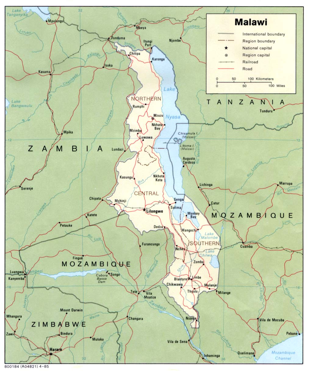
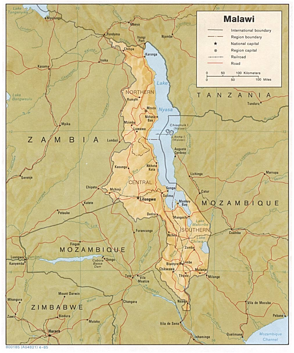
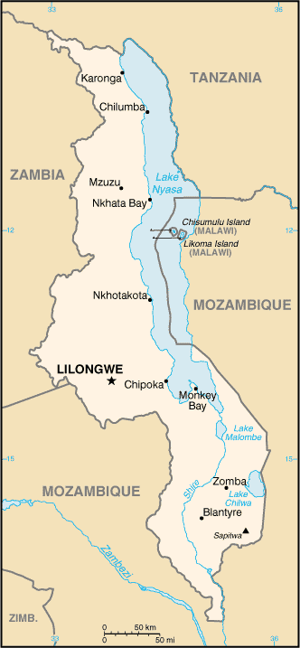
- Malawi (Political) 1985 (172K) and [africa/malawi_pol_1985.pdf pdf format] (178K)
- Malawi (Shaded Relief) 1985 (197K) and [africa/malawi_rel_1985.pdf pdf format] (200K)
- Malawi (Small Map) 2005 (19K)
- Mali Maps
- Mauritania Maps
- Mauritius Maps
- Morocco Maps
- Mozambique Maps
- Namibia Maps
- Niger Maps
- Nigeria Maps
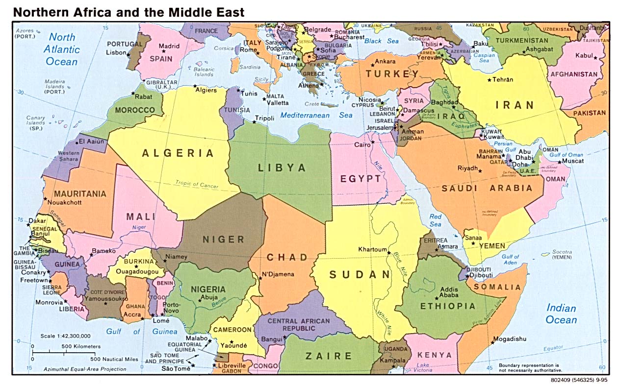
- Northern Africa and the Middle East (Political) 1995 (207K)
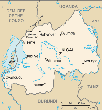
- Rwanda (Small Map) 2005 (11K)
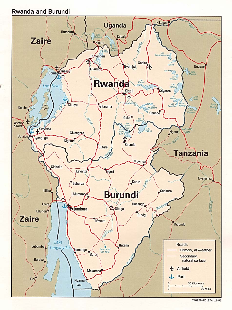
- Rwanda and Burundi (Political) 1996 (254K) and [africa/rwanda_pol_1996.pdf pdf format] (238K)
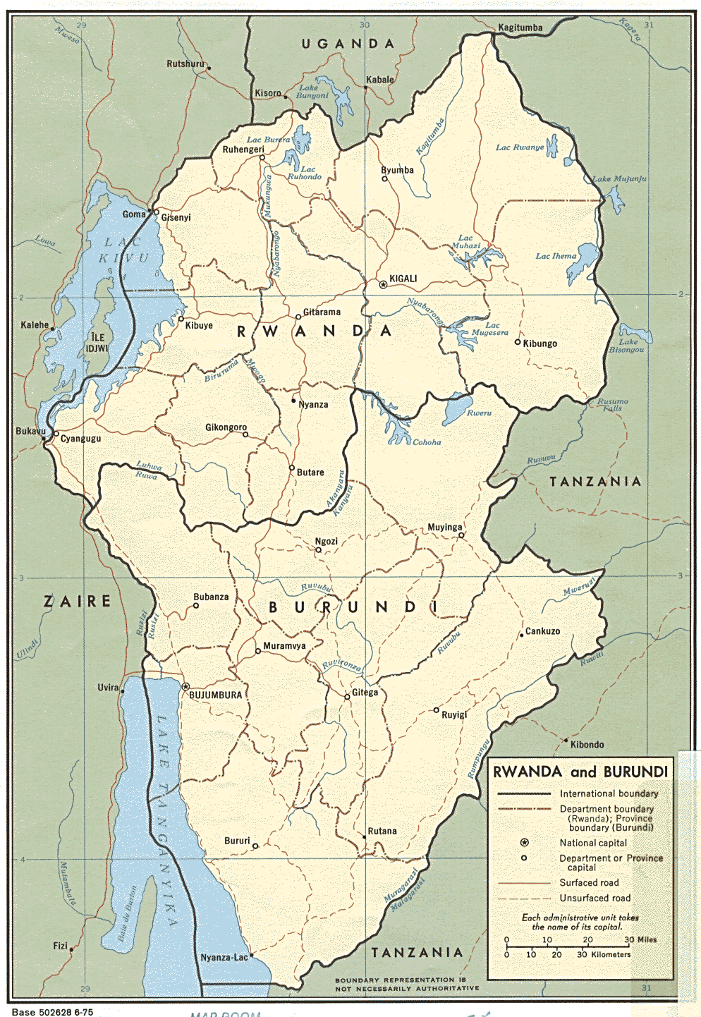
- Rwanda and Burundi (Political) 1975 (311K) and [africa/rwanda_and_burundi_pol_1975.pdf pdf format] (343K)
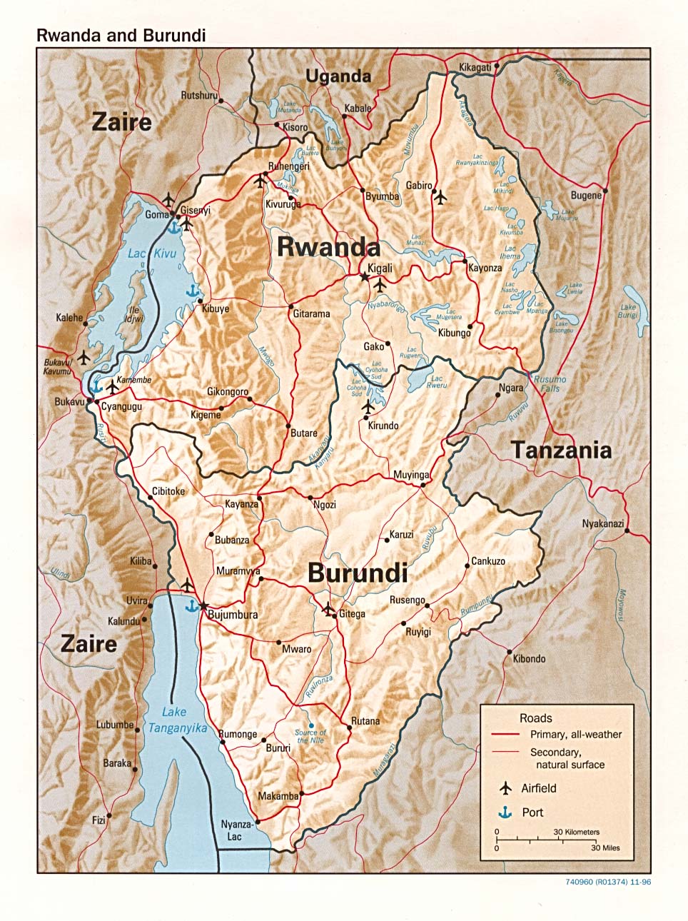
- Rwanda and Burundi (Shaded Relief) 1996 (293K) and [africa/rwanda_rel_1996.pdf pdf format] (271K)
- Rwanda and Burundi (Shaded Relief) 1975 (288K)
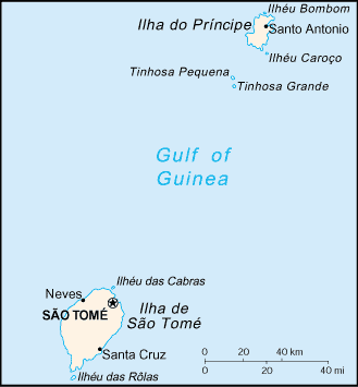
- Sao Tome Portion of Libreville sheet. Topographic Map NA 32, Series 1301.Original Scale 1: 1,000,000. Printed by U.S. Army Map Service, Corps of Engineers, 1963 (81K)
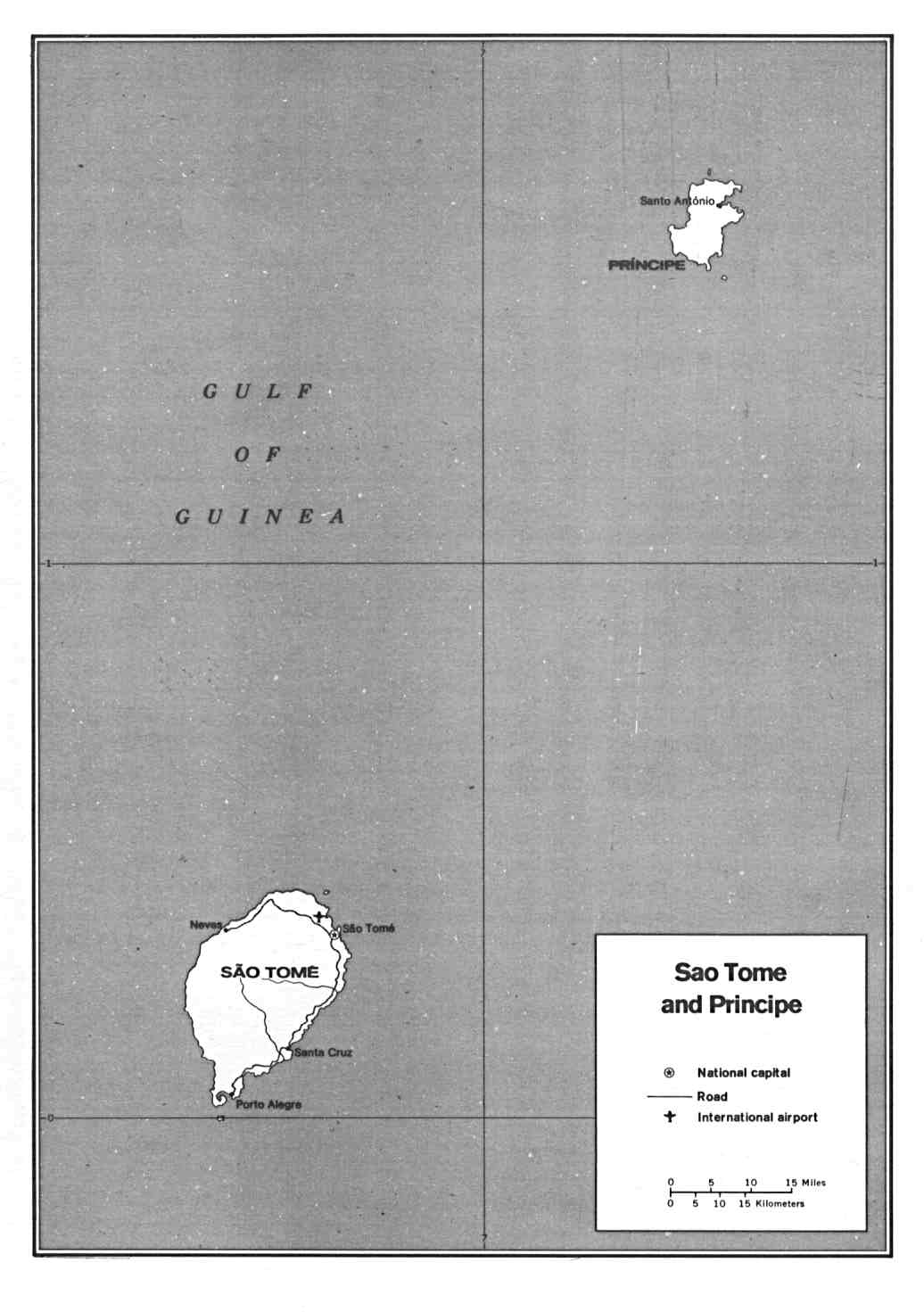
- Sao Tome and Principe (Political) U.S. Department of State 1991 (71K)
- Sao Tome and Principe (Small Map) 2005 (6K)
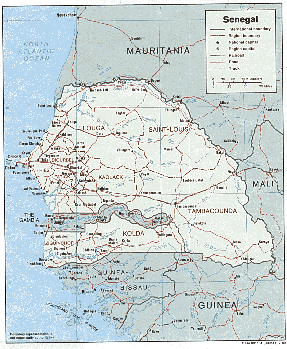
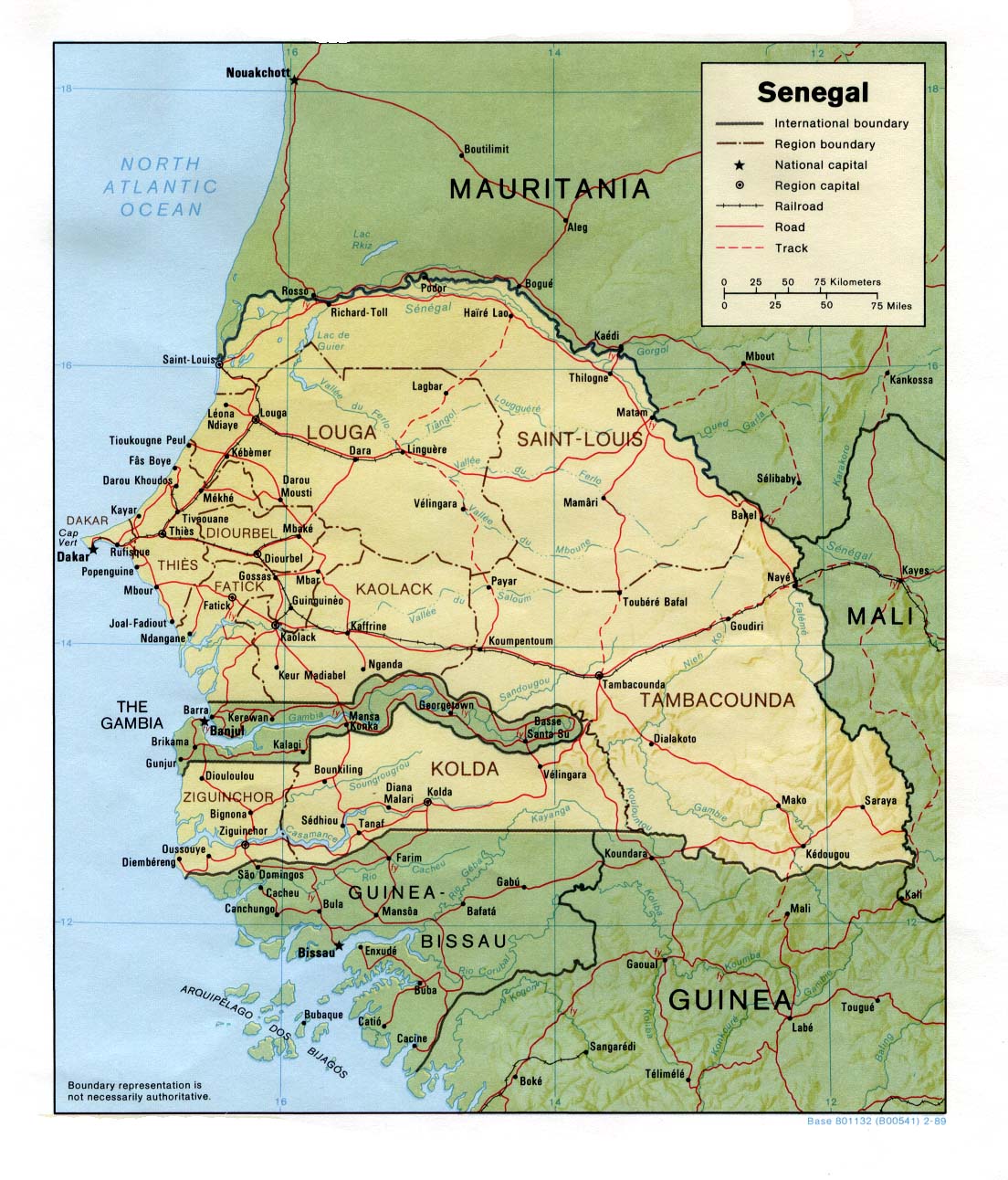
- Senegal (Political) 1989 (289K) and [africa/senegal_pol_1989.pdf pdf format] (305K)
- Senegal (Shaded Relief) 1989 (264K) and [africa/senegal_rel_1989.pdf pdf format] (272K)
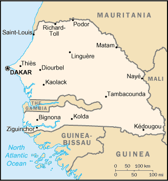
- Senegal (Small Map) 2005 (12K)
- Seychelles Maps
- Sierra Leone Maps
- Somalia Maps
- South Africa Maps
- Sudan Maps
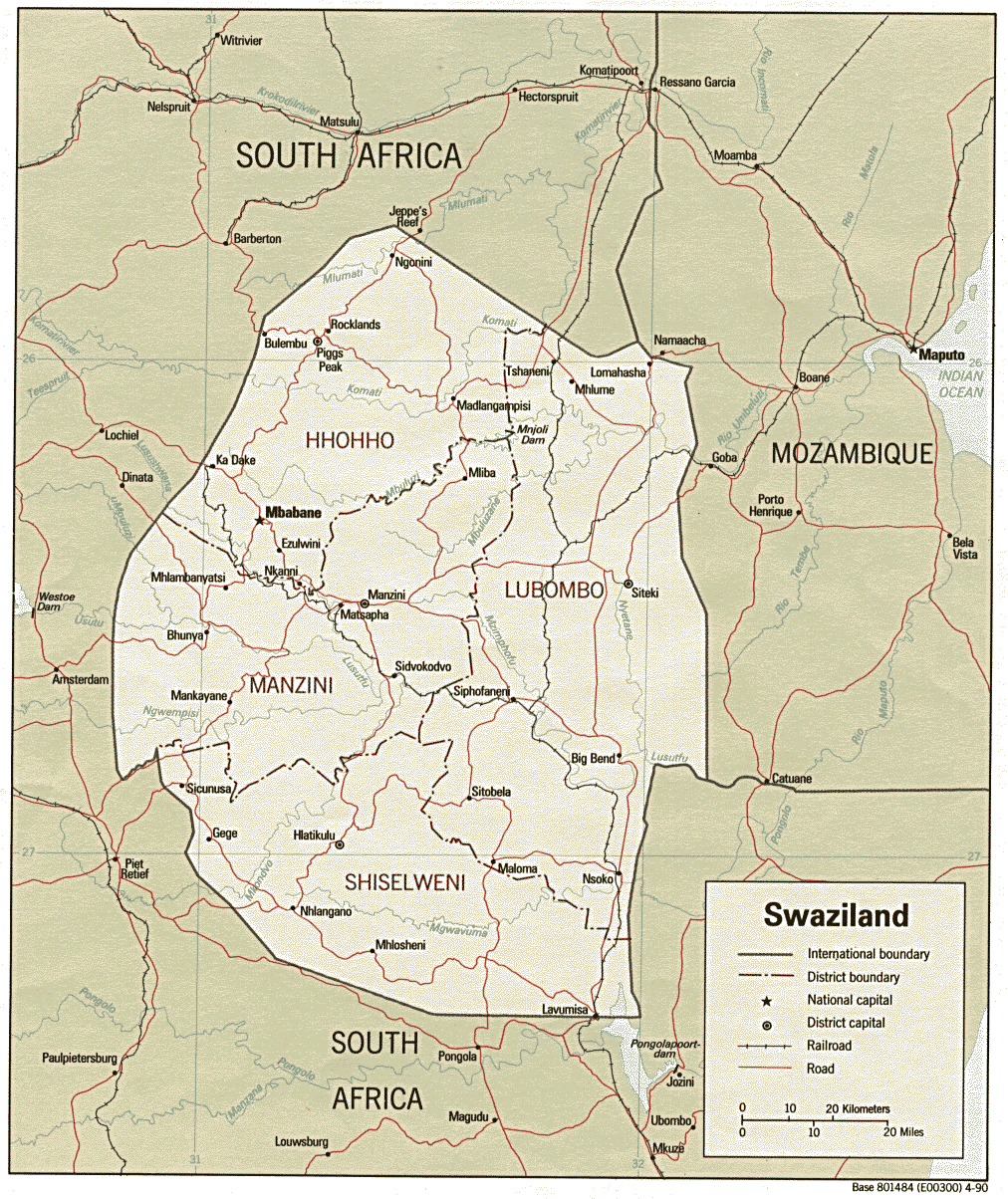
- Swaziland (Political) 1990 (327K) and [africa/swaziland_pol_1990.pdf pdf format] (346K)
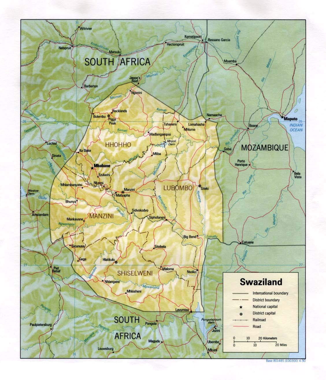
- Swaziland (Shaded Relief) 1990 (185K) and [africa/swaziland_rel_1990.pdf pdf format] (192K)
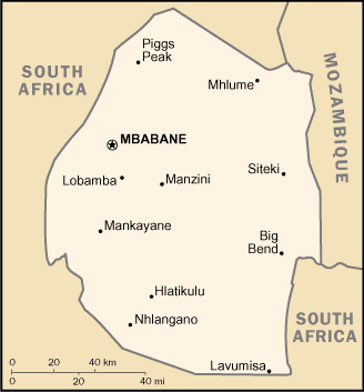
- Swaziland (Small Map) 2005 (8K)
- Tanzania Maps
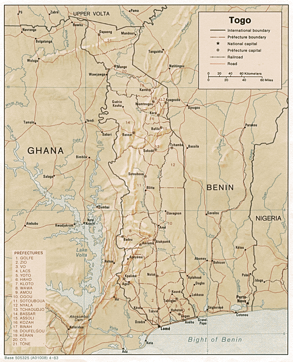
- Togo (Shaded Relief) 1983 (369K) and [africa/togo_rel_1983.pdf pdf format] (398K)
- Togo (Small Map) 2005 (16K)
- Tunisia Maps
- Uganda Maps
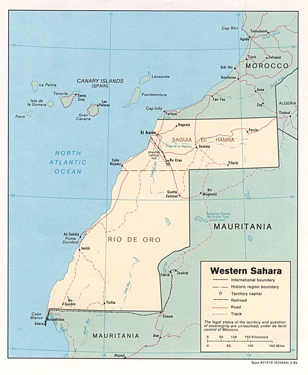
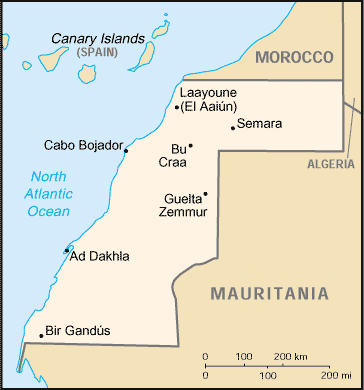
- Western Sahara (Political) 1989 (157K) and [africa/western_sahara_pol_1989.pdf pdf format] (180K)
- Western Sahara (Shaded Relief) 1989 (135K) and [africa/western_sahara_rel_1989.pdf pdf format] (141K)
- Western Sahara (Small Map) 2005 (10K)
- Zaire Maps (Democratic Republic of the Congo)
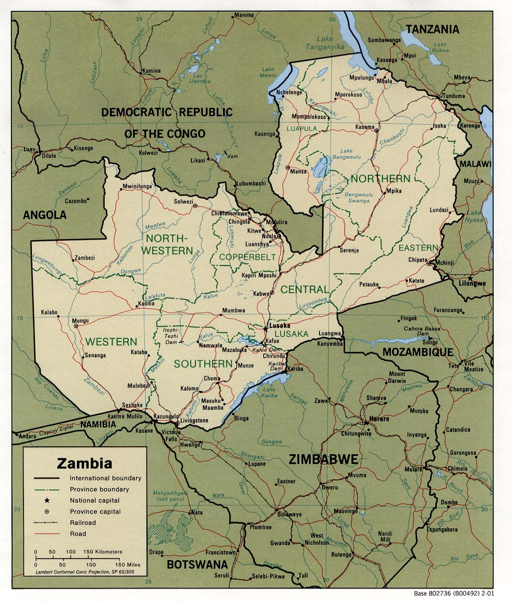
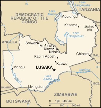
- Zambia (Political) 2001 (275K) and [africa/zambia_pol01.pdf pdf format] (286K)
- Zambia (Political) 1988 (257K) and [africa/zambia_pol_1988.pdf pdf format] (280K)
- Zambia (Shaded Relief) 2001 (314K) and [africa/zambia_rel01.pdf pdf format] (321K)
- Zambia (Shaded Relief) 1988 (255K) and [africa/zambia_rel_1988.pdf pdf format] (233K)
- Zambia (Small Map) 2005 (14K)
- Zimbabwe Maps
Asien
- East Asia Landsat 742 Mosaic, WGS84 Geodetic, Data is from year 2000, ECW format.
- Thumbnail
- Torrent-Download, 3.08 GB
- South East Asia Landsat 742 Mosaic, WGS84 Geodetic, Data is from year 2000, ECW format.
- Thumbnail
- Torrent-Download, 2.91 GB
- Mittlerer Osten (Middle East) Asia Landsat 742 Mosaic, WGS84 Geodetic, Data is from year 2000, ECW format.
- Thumbnail
- Torrent-Download, 1.52 GB
Indien
- Mumbai Free Map: Community Geographic Information System (GIS) and Mumbai Map Archive
- Indien Landsat 742 Mosaic, WGS84 Geodetic, Data is from year 2000, ECW format.
- Thumbnail
- Torrent-Download, 2.24 GB
Japan
- Japan Landsat 742 Mosaic, WGS84 Geodetic, Data is from year 2000, ECW format.
- Thumbnail
- Torrent-Download, 211.34 MB
Malaysia
- Malaysia Landsat 742 Mosaic, WGS84 Geodetic, Data is from year 2000, ECW format.
- Thumbnail
- Torrent-Download, 334.34 MB
Europa
- Europäische Umweltagentur Datenservice (European Enviroment Agency)
Viele Europäische Umweltdaten in unterschiedlichen Formaten (Raster, Grid, Shape und Cover).
- Europe Landsat Mosaic, Data is from year 2000, WGS84 Geodetic, ECW-Format
- Tumbnails
- Torrent-Datei 1,72 GB
- A seamless raster base-map of Europe (ETRS90_LAEA CRS, 14.25 m pixel resolution), created on the basis of USGS Landsat GeoCover 2000 (USGS Global Land Cover Facility), published on-line at the Baltic GIS Portal http://gis.ekoi.lt): (http://gis.ekoi.lt/data/rs/glcf_lsm_2000_laea/glcf_lsm_2000_europe.html).
- Administrative und postalische Grenzen für ganz Europa werden von GfK GeoMarketing digitalisiert und auf dem aktuellen Stand gepflegt. Das heißt, bis hinunter auf Gemeinde- bzw. PLZ-Ebene sind alle Gebietsstände flächendeckend, vollständig attributiert und nahtlos als Vektorgeometrien in den üblichen Datenformaten verfügbar.
Baltische Staten
- Baltic Sea Region - GIS, Maps and Statistical Database
The Baltic Sea Region GIS, Maps and Statistical Database is a result of the [Baltic Drainage Basin Project (BDBP)], a multi-disciplinary research project under the EU 1991-1994 Environment Research Programme. It was developed as joint effort between the Beijer Institute, Stockholm, Department of Systems Ecology, Stockholm University and UNEP/GRID-Arendal.
Available Data Sets are: Administrative Units, Arable Lands & Pasture Lands, Land and Ocean (Coastline), Land Cover, Population Density, Sub-watershed Drainage Basins and Wetland Distribution
Großbritanien
- A full set of UK + Ireland contour maps. from NASA SRTM data, plus a few ther odds and ends (coastline, summits, trigs points, and suchlike) should be on-line at: http://www.smc.org.uk/books/books_contour_maps.htm
- County Data For the British Isles The data is linkwere or emailware.
Österreich
- GisAustria.at - Sammlung von verschiedenen Geodaten (Oberflächenmodell, Geländemodell, Grenzen) zum freien Download (für registrierte Benutzer)
http://www.GisAustria.at
Nordamerika
- NOAA ENC (all)
Over 500 S-57 ENC files from NOAA. These are all the current (Oct/2005) free ENC format Nautical charts for the USA. The charts are in S-57 format which can be somewhat challenging to exploit, but are readable using the OGR library as well as products such as FME, or the viewer software from SevenCs (http://www.sevencs.com).
- Details
- Torrent-Datei 292 MB
- North America Landsat Mosaic, WGS84 Geodetic, Data is from year 2000, ECW format.
- Thumbnail
- Torrent-Download, 5.52 GB
USA
Gesamte USA
- Punkte-Shape-Datei Geographischer Namen - 2 Millionen Punkte.
About 2 million named places exist within US territory; everything from streams, churches, parks, mountains, etc. Of course they are all documented in a file format which is somewhat inaccessible to GIS applications. But using a nice bash shell script plus a python/ogr script, we can download all the wierd text files and convert them into one (huge) point shapefile.
This data was processed by Matthew Perry.
- More information on the process used to create this datase
- Torrent-Datei 92 MB
- Tiger data for USA
- Torrent-Download, 4.21 GB
- Shape-Dateien der USA und angrenzender Territorien von 2004
- Torrent-Download, 8.59 GB
- USA DEM - ColorDrape, WGS84 Geodetic, ECW-Format
- Thumbnail
- Torrent-Download, 115.66 MB
Bundesstaaten
- Alabama Topo Maps and GIS
- Alaska Topo Maps
- Arizona
- Arkansas
- California Topo Maps
- California GIS
- Colorado Topo Maps
- Connecticut Topo Maps
- Delaware Topo Maps
- Libre Map Project
- Delaware Topographic Map 24K - WGS84, ECW-Format, Torrent-Datei 294 MB
- District of Columbia
- Florida Topo Maps
- Florida GIS
- Georgia Topo Maps
- Georgia GIS
- Hawaii
- Idaho
- Iowa
- Illinois Topo Maps
- Illinois GIS
- Indiana
- Kansas
- Kentucky
- Louisiana Topo Maps
- Louisiana GIS
- Maine
- Maryland Topo Maps
- Massachusetts Topo Maps
- Massachusetts GIS
- Michigan
- Minnesota
- Mississippi
- Missouri Topo Maps
- Missouri GIS
- Montana Topo Maps
- Nebraska Topo Maps
- Nebraska GIS
- Nevada Topo Maps
- Nevada GIS
- New Hampshire
- New Jersey Topo Maps
- New Mexico Topo Maps
- New York Topo Maps
- New York GIS
- North Carolina Topo Maps
- North Dakota Topo Maps
- North Dakota GIS
- Ohio
- Oklahoma Topo Maps
- Oregon
- Oregon Topo Maps
- Oregon Topo Maps
- Oregon GIS
- Pennsylvania
- Rhode Island
- South Carolina Topo Maps
- South Dakota Topo Maps
- Tennessee Topo Maps
- Texas
- Utah GIS
- Utah Topo Maps
- Vermont Topo Maps
- Virginia Topo Maps
- Washington Topo Maps
- West Virginia Topo Maps
- Wisconsin
- Wyoming Topo Maps
- Wyoming GIS
Kanada
- 2005 Canadian Road Network, Kanadisches Straßennetz
The Road Network File (RNF), 2005, is the first official release from the 2006 Census Geography suite of products and services. The RNF is a digital representation of Canada's national road network, containing information such as street name, type, direction and address ranges.
- Homepage
- Torrent-Datei, 242 MB
Südamerika
Weltweit
<DPL> category=Geodaten category=Erde ordermethod=lastedit order=ascending </DPL>
- VMAP (Vector Map), ein weltweites vektor-basiertes topographisch-kartographisches Informationssystem der NATO, das von der National Geospatial-Intelligence Agency, der militär-geographischen Behörde der USA, herausgegeben wird. VMAP Level 0 (entspricht etwa dem Maßstab 1:1.000.000) ist frei verfügbar.
- NOAA's National Geophysical Data Center (NGDC)
NOAA's National Geophysical Data Center (NGDC) provides scientific stewardship, products, and services for geophysical data from the Sun to the Earth and Earth's sea floor and solid earth environment, including Earth observations from space.
- Kartenserver der Firma Demis
Laut Demis unterliegen diese Karten keinem Urheberrecht bzw. sind Public Domain. Zitat: Each of these databases is considered "public domain", there are no known copyright restrictions on the use of this data.
- http://earthobservatory.nasa.gov/Newsroom/BlueMarble/
The Blue Marble is the most detailed image of the Earth, and you can download it it for free at resolutions up to 8192 by 4096.
- ESRIs Geography Network - Online Portal zur Recherche von freien Daten (für Europa/Deutschland nur eingeschränkt)
- GEOnet Names Server (GNS)
- The GEOnet Names Server (GNS) provides access to the National Geospatial-Intelligence Agency's (NGA) and the U.S. Board on Geographic Names' (US BGN) database of foreign geographic feature names. The database is the official repository of foreign place-name decisions approved by the US BGN. Approximately 20,000 of the database's features are updated monthly.
- Geographic Area of Coverage: Worldwide excluding the United States and Antarctica. For names in the U.S. and Antarctica, visit the United States Geological Survey (USGS) Geographic Names Information System (GNIS) web site.
- The GNS contains 4.0 million features with 5.5 million names (approximate).
- The coordinate system for data served by GNS is WGS84.
- Coordinates in the GEOnet Names Server are approximate and are intended for finding purposes only.
- The online database is updated on a bi-weekly schedule.
- Geonames.org vereint frei Geodaten aus diversen Quellen. Verfügbar als Webservice oder Download. Korrekturmöglichkeiten mittels Wiki.
- The University of Texas at Austin
Vorlagenschleife entdeckt: Vorlage:Seite
- The worldwide index of cities and towns at http://www.fallingrain.com/world/ .
Thematische Gliederung
Digitale Höhendaten
Rasterformat
- Geodata-Page from Phisan Santitamnont (Digital Chart of the World, GTOPO30 etc.)
- Global Land One-kilometer Base Elevation (GLOBE)
- GTOPO30 global elevation data (land only, ~ 1km resol. = 30 arc sec.)
- ETOPO5 global data (land and oceans, 10km resol. = 5min)
- Bathymetry, Topography & Global Relief
- Worldwide Digital Elevation Data - NIMA VMAP0 / DTED 30-arc second data
- RIDGE Multibeam Synthesis Project (bathymetric data, ocean ridges...)
- USA-Data: DEM via EROS Data Center
- USA-Data: DEMs of all states
- Digital Elevation Data Catalogue
Digitale Karten (Raster- und Vektorformat)
- PANGAEA: Network for Geological and Environmental Data
- GSHHS - A Global Self-consistent, Hierarchical, High-resolution Shoreline Database
- Administrative boundary files for all seven continents (political boundaries, from CDC)
- Digital Chart of the World by Country (vector in E00 format)
- Vector data: Rivers, coastlines, World Data Bank II, political boundaries ... (at scales from 1:70000 to 1:2.5M)
- Digital Chart of the World (vector) - via PSU
- Digital Chart of the World (vector) - via UNEP GRID
- World Basemap Data via ESRI (partly commercial, vector) --> Link ist nicht mehr vorhanden!!
- Scanned maps (raster)
- Worldwide city maps
Vegetationdaten
Rasterformat
Städtekoordinaten
- List of Cities in the World
- International city list
- OpenGeoDB
- The worldwide index of cities and towns at http://www.fallingrain.com/world/ .
Wetterdaten
- Worldwide Climate (select by town) (long term temperature/precipitation data)
- Selected long term temperature/precipitation data (Germany/World)(from Georg Müller, partly since 1701)
- Current weather situation (select by country) (from U.S. NOAA)
- Global datasets 1994-today: 11000 stations (from U.S. NCDC/NOAA) - no German data ...
- Georg's Wetterzentrale (from Georg Müller)
- National climate data center (from U.S. NCDC/NOAA)
- CLIMVIS (from U.S. NCDC/NOAA) - no German data...
- Selected German data (from DKRZ)
- More selected German data
- Ring europäischer Hobbymeteorologen
Satelliten-Daten
- Free LANDSAT 7 images: LANDSAT, MODIS + ASTER, 13TB
- Free SPOT, LANDSAT, DEMs etc. (from USGS)
- Free SPOT data (from www.remotesensing.org)
- SIR-C / X-SAR in full resolution via JPL
- SIR-C data (choose "Select data from a coverage map" at page bottom) - via USGS
- SeaWiFS (Sea-viewing Wide Field-of-view Sensor), launched in August 1997, measures global ocean bio-optical properties. Images and data are available online.
- Free LANDSAT TM city data (ERDAS LAN-Format via NASA) - european MIRROR
- DLR: ISIS-Katalog (Quicklooks, selected LANDSAT TM in full resolution via GISIS)
- LANDSAT MSS example: San Antonio, Texas.
- Weather Satellite imagery on Internet (Übersicht)
Weitere Informationen
- Watch earth observation satellites online moving across a global map (realtime)
- Remote sensing links: Conferences, organizations, data server, ...
- Satellite Instruments Information page
- Satellite data page (technical data) (with examples - from NRSC)
- Telsat Guide (chapter "Sensors")
- Missions, Satellites and Instruments
- Satellites Imagery FAQ
Sozioökonomische Daten (z.T. Vektordaten)
- UNEP GRID Schweiz Online GIS data and maps
- NCGIA - global demography data
- SEDAC data via CIESIN (Metadata)
Diverse Daten (z.T. Vektordaten)
- NSIDC data catalog (Ice, climate, oceanic data, global datasets etc.)
- Coastline extractor
- UNEP GRID Arendal (Norwegen) Online GIS data and maps - human geography etc.
- GIS spatial data sites (from U.S. EPA)
- ADD - sites(in ARC/INFO format) --> Link ist nicht mehr vorhanden!!
Tutorials
- siehe Tutorials
Linksammlungen
- http://www.geotorrent.org/ Dateien im Torrent-Format zum Downloaden
- Freie Geodaten bei freegis
siehe http://freegis.org/geo-data.de.html
- The GeoCommunity
Zitat: The GIS Data Depot houses data in support of the GIS industry. The majority of the data provided has been downloaded by our staff from a wide range of GIS Web sites located on the Internet.
\ There is also value added data where we have performed some translation, attribution, analysis, or other data enhancing operations. By providing all of these resources from one convenient location, GeoCommunity has made every effort to ensure that you can locate the data you are searching for in a quick and efficient manner.
- www.geographie.uni-wuerzburg.de: Karten-Kollektionen (...und Software)
- The Library of Congress (USA) - Historische Karten: *The Library of Congress Map Room ("Online Map Collections")
Hunderte alter Karten im Mr. Sid Format
Lizenz (Zitat): "While many maps fall within the public domain (generally, material published before 1923), large numbers of maps, particularily recent acquisitions, are protected by copyright and may not be reproduced by the Library."
- Sammlung der Universität von Texas [1] ähnliches Copyright wie oben.
- http://www.openknowledgefoundation.org/okforums/geodata/ (Forum on Open Geo-Data)
News
www.census.gov
<rss>http://www.census.gov/newonsite/index.xml%7Ccharset=UTF-8%7Cshort%7Cmax=15%7Ctitle=(weitere News ...)|formattitle=p</rss>
Yahoo News (Deutsch)
<rss>http://news.search.yahoo.com/news/rss?p=Geodaten&ei=UTF-8&vl=lang_de%7Ccharset=iso-8859-1%7Cshort%7Cmax=30%7Ctitle=Yahoo News|title=(weitere News ...)|formattitle=p</rss>
Yahoo News (Englisch)
<rss>http://news.search.yahoo.com/news/rss?p=Geodata&ei=UTF-8&vl=lang_en%7Ccharset=iso-8859-1%7Cshort%7Cmax=15%7Ctitle=Yahoo News|title=(weitere News ...)|formattitle=p</rss>